This hike in the Whitewater Preserve was along a ridge that is about 800 feet over the valley and gives a good vista of both the valley and the wind turbines in the connecting valley below. They had forecast high winds for later on in the day but we received the full force of the 30 mph wind gusts as we started to descend to the valley floor.
 |
| The dry cottonwood tree contrasts well with the other foliage and the canyon walls |
 |
| The north western edge of the ridge as we start our climb. |
 |
| Ridge view facing the east wall of the canyon |
 |
| The patches of trail heading off in the distance is the Pacific Crest Trail. The trail is 2,650 miles (4,265 kilometers) from Mexico to Canada. |
 |
| It was only about 45 F (7 C) so to see the snow on the hill in the distance shouldn't have been a surprise. |
 |
| This view of the ridge was looking south. The air quality in the lower valley was poor. |
 |
| The Whitewater River was very low but at times of rain it will flood right over this road. |
 |
| These ducks are enjoying the old fish hatchery ponds at the ranger station. I think these visitors are Tufted Ducks and aren't a regular visitor. |
The second hike of the week was in the Indian Canyons, part of the Aqua Caliente Indian Reservation. The canyons were only recently reopened after receiving a rain storm in September that caused severe flooding and land slides in the area. There was lots of evidence of soil and vegetation removal by these flood waters.
There had been a fire in the back country and this removed vegetation that would normally hold back the soil during normal rain fall.
There are a number of hikes in the area but we went up Murray Canyon to see the waterfalls at the end.
 |
| The rock formations look like slabs of rock scales |
 |
| Canyon entrance with Murray Creek flowing through the center. |
 |
| Some damage where the creek decided to go sideways |
 |
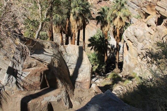
| Not much vegetation except for the sturdy fan palms |
 |
| Just one of the 15 crossings... |
 |
| Waterfalls at the end of the trail were just a trickle |
 |
| This is a picture of the falls in March 2013, note there is a pool in front of the falls. |
 |
| This is a small waterfall near the Reserve Trading Post |


No comments:
Post a Comment