Saturday, December 31, 2011

2011 - Palm Canyon Trail

Here is the addition to last Wednesdays hike.  These photos were taken by Bryan White who lead a part of our group south past the trading post along the Palm Canyon Trail.  It was similar to the Andreas Canyon but not as much elevation change.

Linda checking the water temperature

Palm tree badly bent out of shape

Reflections in pond

Close up reflection

Trail between the palms

Thursday, December 29, 2011

2011 - Andreas Canyon

Andreas Canyon trail is one of many hikes available on the Aqua Caliente Indian Reservation (Indian Canyon) and requires paying a toll to enter.  The Canyons are tucked away in the southwestern corner of Palm Springs and are a hiker’s paradise. Andreas Canyon trail follows a stream while winding through hundreds of native California fan palms.

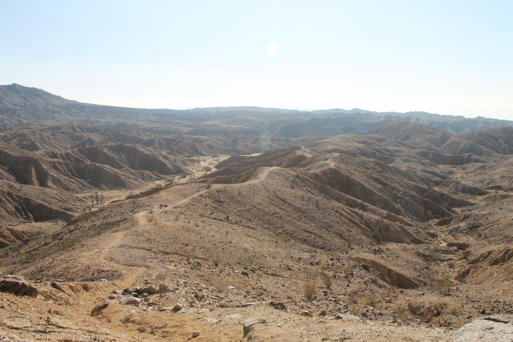
There are also more than 150 species of plants within a half-mile radius. This tranquil setting is excellent for photography, bird-watching or picnic at one of the tables at the start of the trail.  This hike was only a mile long with an elevation change of 180 feet.

This rock formation is at the top end of the parking lot and the start of the trail.  Visitors were once allowed to climb in this area but it is closed now as people were adding their own hieroglyphics.


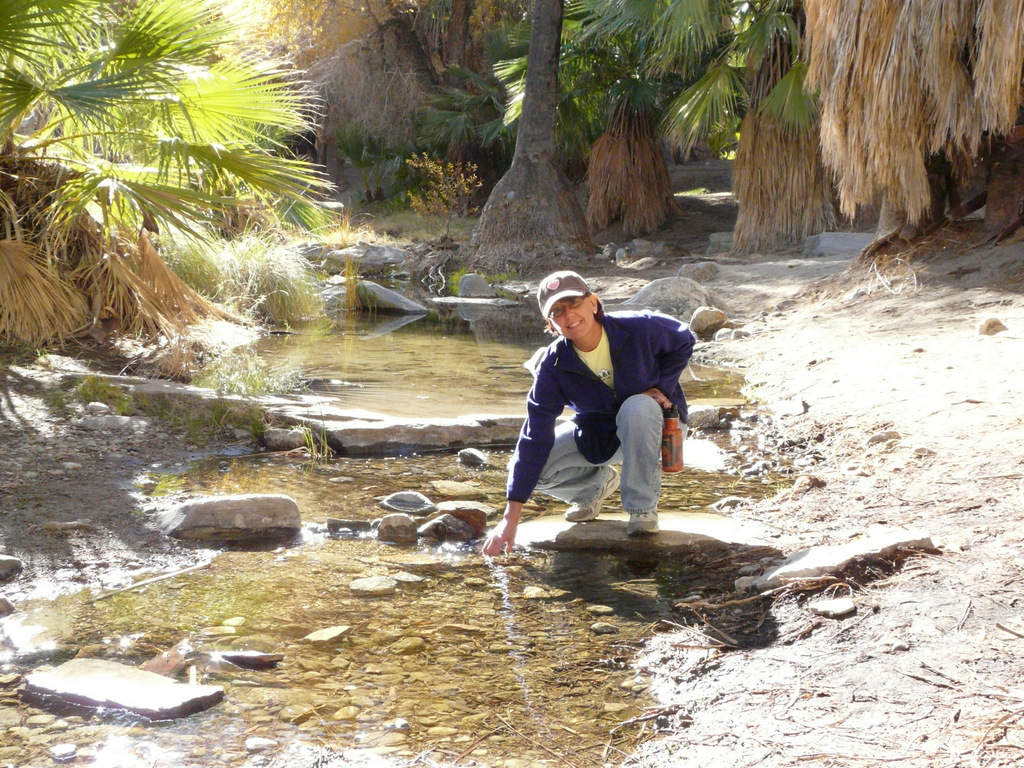
Lin was taking photos of the stream that flows through the canyon. 

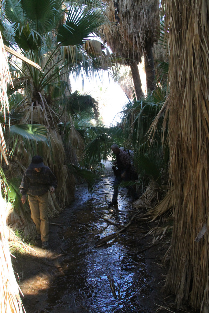
We hiked the loop trail in a counter clockwise direction so the creek was on the left and the canyon wall was beside us on the right. 

This photo was taken standing on a large rock in the middle of the creek looking upstream.

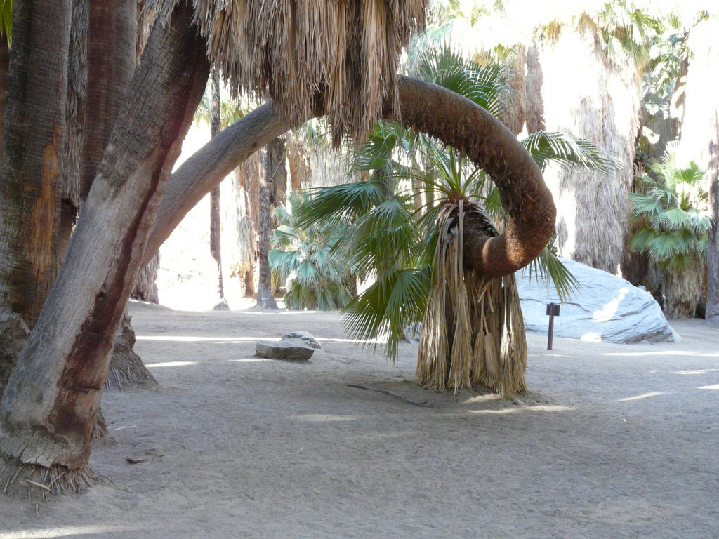
California Fan Palms with the sun showing them off.


This photo is near the top of the trail.  The houses in the background are actually built on railway land.  The government gave land to the railroad so they would build a railway through the Coachella valley.  There is also a mine close by.

The return trail is slightly higher and you look into the creek and canyon on the way back to the parking lot.


Part of the hiking group. No one was too worn out by the hike.
 After the Andreas Canyon we drove further down Palm Canyon Road to the trading post.  On the right side of the Post is a small waterfall that tumbles down the rocks and goes under this bridge we are standing on.  Only one problem... where is the water?  I asked a Native park interpreter and he said "I don't know ask the Creator!"

The ladies are holding the rock while the guys walked passed it.

This little fellow was enjoying a rest after feeding at the bird feeders the trading post uses to draw the birds in.
We had a great day of hiking and we also had another group of hikers that went from the trading post and hiked further up Indian Canyon on the Palm Canyon trail.  I hope to publish these photos in the next few day. 

The Indian Canyon is extremely popular with the tourists and locals.  This time between Christmas and New Years is probably their busiest time.  We had a 5 minute wait at the toll booth and when we left it looked like the lineup would be at least 15 - 20 minutes.

Friday, December 23, 2011

2011 - Pushwalla Palms Canyon Trail

Today was one of the warmest days we have had but there was a slight breeze that made the hike enjoyable.  I don't know how people can live here in the summer let alone go hiking.  We took this hike last year and I was quite surprised by the growth of the young palms.  The grove was looking very healthy and that is probably due to the amount of water that was flowing.

The hike was the same distance as last year, 4.4 miles but when you have two GPS units like two watches they might not read the same.  A number of our team though we had walked further gauging our time started and average walking speed but it can be deceiving when you stop to take pictures or admire the view.  It is nice to know the distance we walk but I am happy if I'm not tired and sore at the end.


Pushwalla Palms

This is the main trail through the oasis and the creek surfaces just inside the palms.


As we walked through the canyon we saw may birds we couldn't identify but one was a very large owl that left the canyon as we arrived and we also saw a hawk around the top of the cliffs.

This rock was sitting on the side of the wash and there wasn't any similar rocks close by. Wonder how it got here?


Picture looking back into the canyon from about half way up the hill.

Thursday, December 15, 2011

2011 - The Grottos

The Grotto hike is one of the more famous hikes in the Mecca Hills.  We walked about 11 kms (6.8 miles) and had an elevation change of 1500 ft.  There are 2 grottoes but we only went though one today as we wanted to get back to the RV resort for a 'Welcome Back' Party.

Six years ago I went with a group four wheel driving to the start of the caves and then after navigating the caves turning back and climb back through them to our vehicles.  This was a lazy man's hike but I finally have finished the major part of the hike.

The caves are more worn than 6 years ago and I felt they were harder to navigate. It felt good to complete the hike and realize that when we were younger we never thought about doing something like this.
Looking south east next to the Salton Sea

Sheep Hole Oasis viewed from the ridge

Rock formation in every view

Hidden Spring entrance that we walked passed without realizing it.  At least this time we only walked about 100 yards past this point.

First view of the spring after walking through a boulder field.


There were flowers blooming on many different plants.  They will bloom after most rain falls.


View of grotto from above. The grotto (caves) were formed when the sides of the canyon fell inward and stacked up.

Six years ago there was a 5 foot rock right where they are standing.

Always someone around with a camera. You can come though feet first or...

Head first

This is the reason they tell you to bring a flashlight.  If you are 6 feet tall you would definitely ring your chimes on this rock.

Looks tight from this side
And tight from this side too
There were times when we had to reread the hiking directions and compare it to the GPS and the terrain.

You can climb down through some of the cave section but we chose to crawl.  You don't have as far to fall.
Very colourful rock formations


Sheep Hole Oasis looking north-west

Three Amigos down by the animal waterhole (no water)

Parting shot of the oasis before climbing out to the parking area
Thanks Don for some of your photos.

Thursday, December 8, 2011

2011 - Painted and Ladders Canyons Revisited

Hiking in the Mecca Hills is never the same especially if you get a large amount of rain between visits.  When it rains these narrow canyons intensify the force of the water. The water has no place to spread out.  Mother Nature did her work reshaping ladders, canyon walls leaving new views in some locations. 
Ladders Canyon - Gap in cliff straight ahead

The Ladders Canyon trail near the start was re-routed again.  The previous year the whole side plugged the canyon and now a water course has reshaped that collapsed area.  It has also reshaped a ladder as well. 
New ladder added

Old Ladder modified by water


 Some of these ladders have seen better days but still hold my weight.  They are a bit short for anyone under 5' 10" in height as you have to scramble a bit


The view south to the Salton Sea.  It was a bit hazy today don't think it was smog coming over from Los Angeles.


What better reason not to brush up against bushes that are close to the trail. This one is an Ocotillo cactus.

Photos below: Painted Canyon never ceases to amaze the eyes with all the colours and patterns in the cliff faces.


First the pack sack is thrown down and then you repel down on a rope.  This was quite a surprise to us all!
Where did the ladders go? They were here last year!


Here are the ladders! Looks like the raging water took them apart on the shrub.  Also looks like the shrub took a hit too.

The reward for all the hiking and rope dangling is a date shake.  I am smiling now but moments before I was experiencing brain freeze.

The hike was over 5 miles and the elevation change was about 700 feet.  We also did some geocaching along the route and found two out of three caches.