


 |
| Chip found it easier going over and under windfalls. He is certainly in his element. |

|
| Chip found it easier going over and under windfalls. He is certainly in his element. |
 |
| Upstream view from the lower falls bridge |
 |
| Downstream view from lower falls bridge |
 |
| Did I mention snow in the rain? |
 |
| Lower Falls |
 |
| Deep section of the gorge |
 |
| The river took a path of least resistance a few years back (million or two) |
 |
| These falls are just downstream of the middle bridge and are the most impressive. |
 |
| This photo was taken July 2009, not much water flowing that day... |
 |
| Upper Falls - looking down from the bridge |
 |
| Water pouring into a narrow slot canyon |

 |
| View from the upper bridge looking down stream |
 |
| After a winter in the desert this is so lush and GREEN! |
 |
| Rain drops still hanging on the cedars |
 |
| Lin took this photo of the fungi and vines - great contrast |
 |
| Chip and I survey the damage from a storm that went through a few days ago |

 |
| Sun playing with the water current |
 |
| The forest floor with its beautiful carpet of plants |
 |
| Lower falls - picture taken from lower bridge. The water is starting to spill over the large rock that plugs the canyon. |
 |
| Lower falls - Nov 2010 |
 |
| Lower falls - Feb 2009 |
 |
| Lower falls - May 2003 |
 |
| Another view of our forest carpet |
 |
| The entrance to the valley is not obvious. If you took away the fenced in path you would have to be facing due west to see the valley opening. |
 |
| Trees get their water by running long roots through the cracks in the rock. |
 |
| This is what you see as you enter the valley |


 |
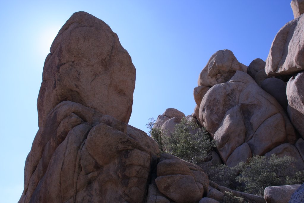
| Some of the rock walls that hide the valley. It is amazing the variety of rock forms that have been created. |
 |
| Prickly Pear Cactus |


 |
| This rock formation is called the 'Big Burrito'. Rock climbers named this giant; probably by someone hungry for some good Mexican fare. |
 |
| The Joshua trees lend themselves to the landscapes vertical beauty |
 |
| The hiking trail is made up of sand and small stones of granite that have worn off the surrounding rock. |
 |
| The pinyon pine cone was used by the first natives as a valuable food source. They would knock down green cones and burn them so the cones would open and the seeds could be extracted. You won't get any out of this one as it appears to have already opened. |
 |
| Standing on the saddle of the valley entrance you can see the Joshua trees growing all over the plain below. |
 |
| Rock climbers have made it to the top and are enjoying a well deserved view. Below you can see the Hidden Valley picnic area. |
 |
| An Antelope Ground Squirrel watching us eat some lunch in the Barker Dam parking lot. He probably did his rounds after we left for our hike. |
 |
| A hummingbird trying to gather some warmth from the sun. |
 |
| Why you don't want to fall into a cactus... |
 |
| More unique rock formations |
 |
| Panorama of the Barker Dam Basin. The dam was built in the early 1900's to hold water for cattle and mining. There was no water source just rain water fed and it is now used by all the wildlife in the area. |
 |
| A moment to reflect |
 |
| Dam Inspectors? |
 |
| The Dam Face looks like there has been some maintenance or they did a great job during construction for it to look so strong. |
 |
| The cattle trough was feed by a pipe from the dam. It is located at the base of the dam in the wash area. |
 |
| This natural cave is a site of petroglyphs. It is unfortunate that some visitors figured they would look better coloured. |
